
Darkot pass (el. 15,430 ft) is a high mountain pass that connects Baroghil Valley in Chitral and Rawat valley of Ghizer District in Gilgit, Pakistan. It is located in Hindukush Mountains Range.
It is also known as "Darkut".

Darkot pass is about 10 miles to the east of Koyo Zom (Zum) (6872m), the highest peak in Ghizer district.

The border between Chitral and Northern Areas runs through the pass over Darkot Glacier. Eight miles to the south is Darkot village on the River Darkot, a small tributary of Ghizar River). To the northeast of Darkot pass is Chitral. Ten miles to the northwest of the pass is Chilmarabad, a village one mile south of the Boroghil pass.

Chikaar is a high plain and gateway to Darkot Pass The border between Chitral District and Ghizer District of Gilgit-Baltistan. It is a small village .Landscape around the village offers superb scenery of clouds and sky piercing peaks.

Climbers and trekkers take porters from this point towards Darkot base camp. Chikaar base-camp is located at the left side of the accumulation zone of the Darkoot glacier.

Trekkers and climbers make stopovers here to start their journey towards Darkot pass from Darkot glacier. Distance from Chikaar to Darkot Base-camp takes an ascending hike of 5–6 hours.
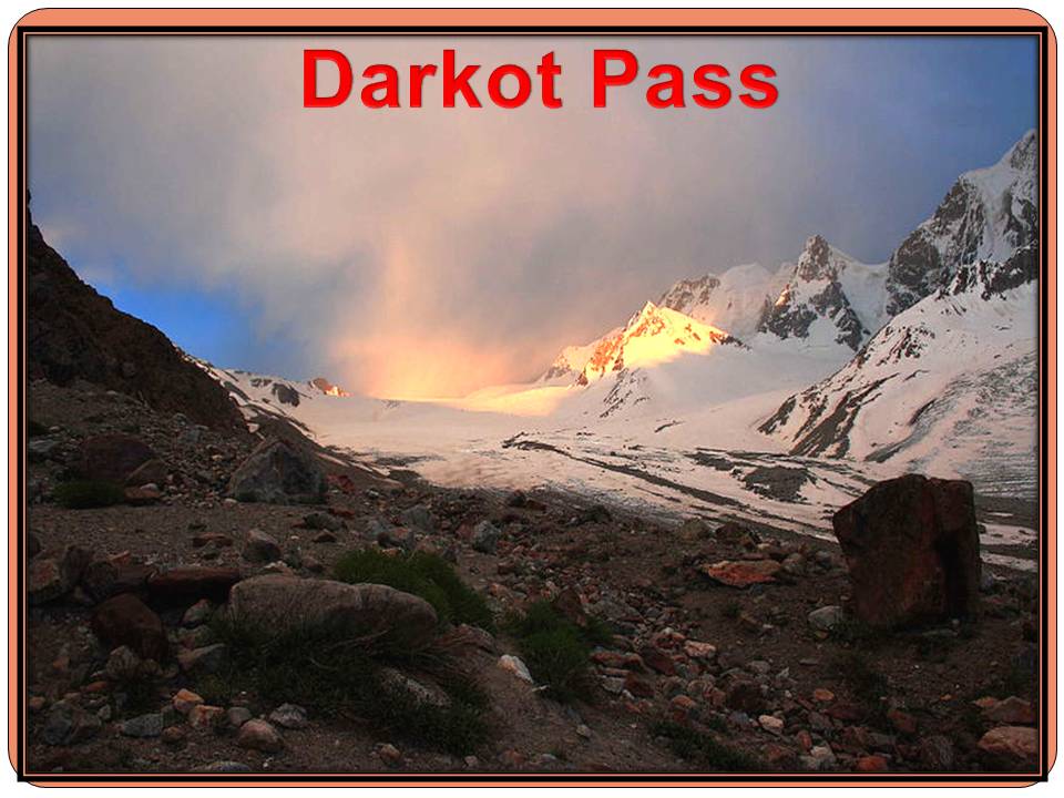
Darkot pass
is open from May to October.
****************************************************
No comments:
Post a Comment